Module for Livestock Establishments, Farms or Ranches
The GanFarm Establishments Module allows you to organize, visualize, and manage each farm, ranch, or productive land from a single location, integrating territorial, operational, and administrative information in a simple, visual, and powerful environment.
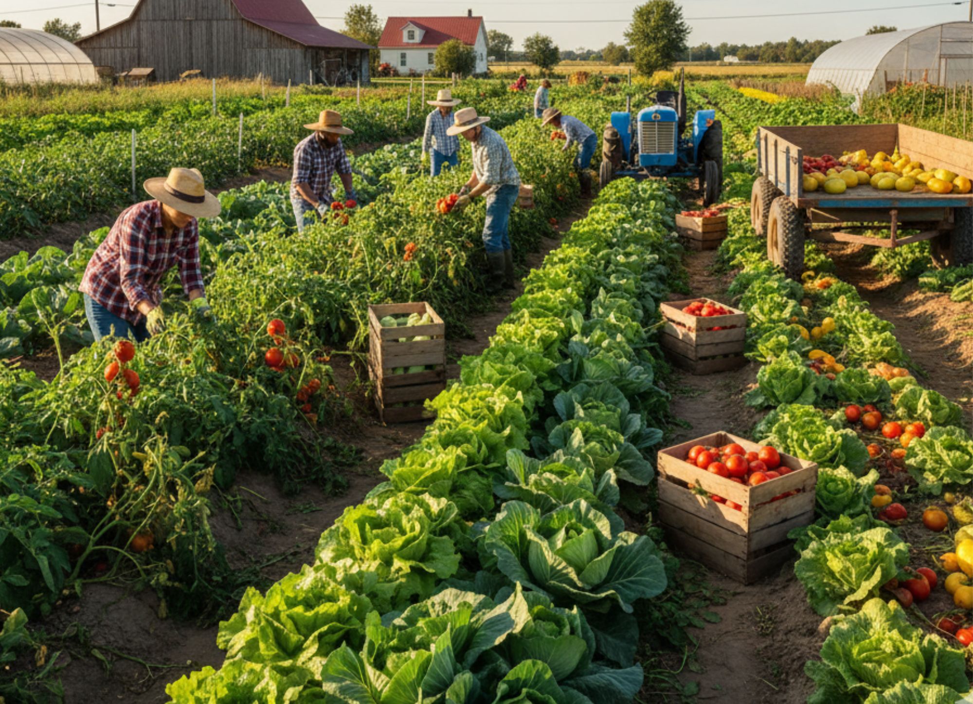
Comprehensive farm management with maps, pastures, personnel, and territorial traceability
The Establishments Module of GanFarm allows you to organize, visualize, and manage each farm, ranch, or productive land from a single place, integrating territorial, operational, and administrative information in a simple, visual, and powerful environment.
Designed for agricultural producers, rural companies, technicians, and managers, this module becomes the structural foundation of the system, connecting animals, crops, polygons, records, personnel, and productive activities.
🌱 Overview
An establishment represents a real productive unit: a livestock, agricultural, or mixed farm.
In GanFarm, each establishment has its complete digital profile, with general data, geographical location, interactive maps, productive categories, images, schedules, and assigned personnel.
This allows:
To have total control of the territory
Centralize the information of the property
Connect maps, animals, crops, and reports
Improve productive decision-making
🏡 General information of the establishment
Each establishment has a section for general data, where the following is recorded:
Establishment name
Description
Parent establishment (if applicable)
Status (active / inactive)
Identifier color
Phone numbers and email
Tax identification
Services offered
Informative URL or video
This information serves as the digital identity of the property, and can be used in reports, listings, and public or private views.
📍 Georeferenced location and address
The module allows defining the exact location of the establishment through:
Textual address (route, path, locality)
Country, department, municipality
GPS coordinates (latitude and longitude)
Direct visualization on interactive map
Map or satellite view
This facilitates the precise location of the property, territorial planning, and integration with maps of polygons and pastures.
🗺️ Maps and polygons of the establishment
One of the pillars of the module is the cartographic management of the establishment.
GanFarm allows:
To draw the property boundary
Create internal polygons (pastures, enclosures, plots)
Visualize areas, perimeters, and shapes
Differentiating types of polygons (property, pasture, crop, others)
View everything on an interactive map
Each polygon stores:
Name
Type
Area in hectares
Associated establishment
Update date
This provides a clear and professional territorial view of the field.
📐 Records and plots
The system allows managing cadastral records and plots, associated with each establishment:
Record number
Description
Area in hectares
Direct association to the establishment
Productive use
This is key for:
Legal organization of the property
Technical reports
Integration with maps and polygons
Regulatory compliance
🖼️ Images of the establishment
Each establishment can have a gallery of images, ideal for:
Showcasing the property
Identifying facilities
Documenting improvements or infrastructure
Institutional or commercial use
The images help to provide visual context and facilitate internal or external communication.
🧑🌾 Productive categories
The module allows defining what activities are carried out in the establishment, through categories such as:
Cattle breeding
Sheep breeding
Horse breeding
Pig breeding
Pasture production
Feedlot fattening
Genetic improvement
Agricultural production
These categories allow:
Classifying establishments
Filtering information
Connecting animals and crops
Generating segmented reports
📸 Images of work and activities
GanFarm allows recording images of work performed at the establishment, such as:
Livestock management
Agricultural work
Construction and infrastructure
Productive activities
These images can be filtered by category and serve as a visual historical record of the property.
⏰ Work schedules
Each establishment can define its operating hours, indicating:
Working days
Closed days
Internal organizational information
This is useful for:
Personnel management
Task organization
Coordination of visits or work
👥 Assigned personnel
The module allows assigning personnel to the establishment, linking individuals who work on that specific property.
This facilitates:
Internal organization
Operational control
Relationship with tasks, events, and activities
📊 Integration with the rest of the system
The Establishments module integrates directly with:
Animals
Crops
Polygons and maps
Productive reports
Inventory and equipment
Climate and traceability
In this way, the establishment becomes the organizing core of all productive information.
✅ Key benefits
Complete view of the field in one place
Territorial control with maps and polygons
Clear organization of farms and ranches
Total integration with livestock and crops
Ordered, visual, and traceable information
Ideal for producers, technicians, and rural companies
Additional Information
Related Content

Privacy Policy
This Privacy Policy explains how GanFarm collects, uses, stores, and protects users’ personal inform...

Terms of Service
This document explains the Terms of Service of the GanFarm Platform, which connects users with agric...

Terms of Use
This section outlines the terms and conditions governing the use of the GanFarm website and platform...